
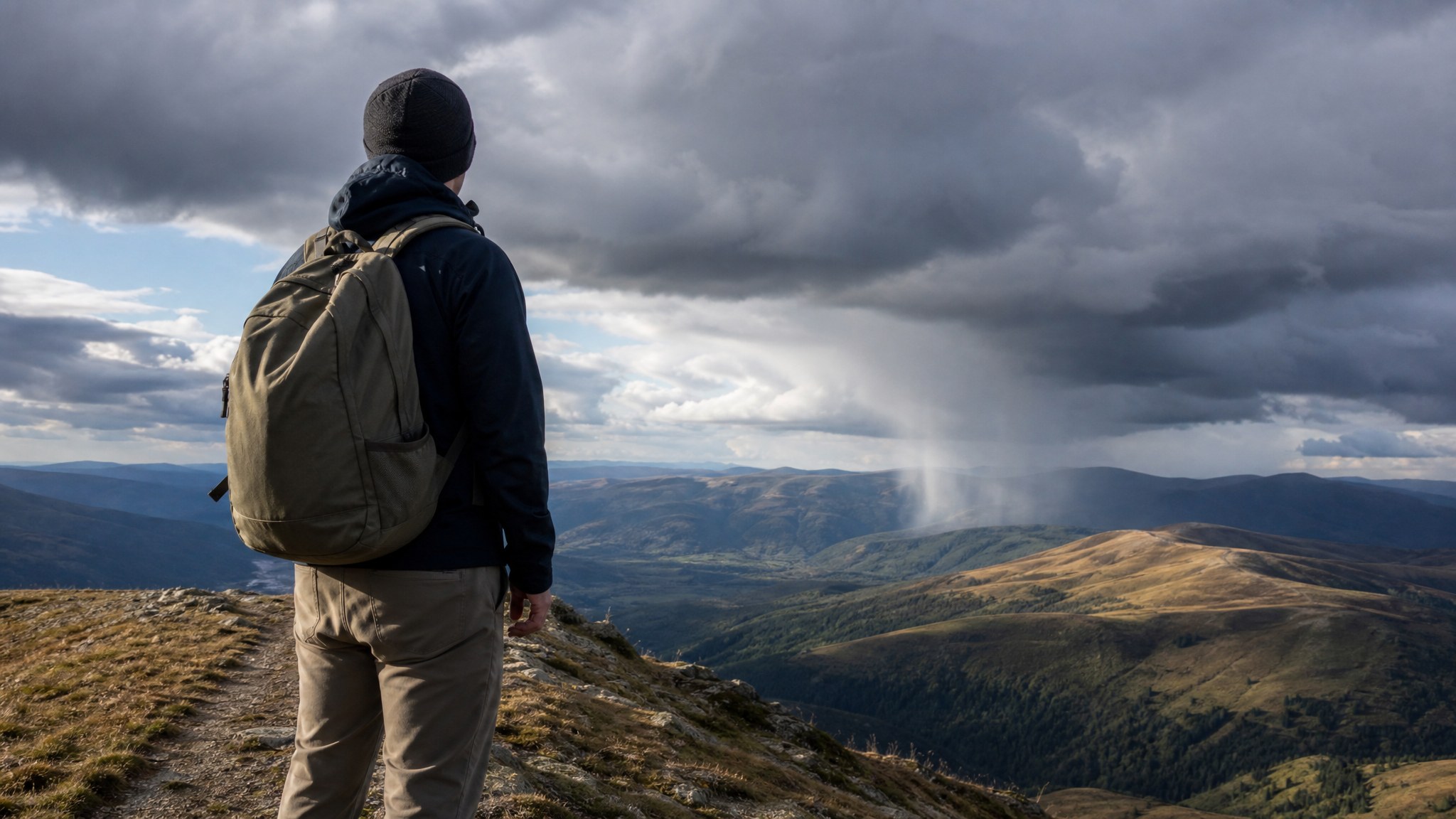
Reading Weather Signs Without A Forecast
Four things tell you almost everything a forecast would: which clouds are overhead, which way the wind is blowing and whether it's shifting, whether the barometer is falling, and what color the sky is at sunrise and sunset. A rising tower of cumulonimbus cloud, a wind that's swinging out of a new direction, and a barometer that's dropping fast are the same signal read three different ways, according to NOAA and the UCAR Center for Science Education: something is moving in, and it's not far off.
A phone forecast is a convenience, not a requirement. Long before satellites, people worked out which signs in the sky, the wind, and the air itself actually meant something, and meteorologists have since confirmed most of it holds up. None of it is guesswork or folklore dressed up as science. It's the same physical processes a forecast model runs, just read directly off the sky instead of off a screen.
What follows draws on the World Meteorological Organization's official cloud definitions as published by NOAA, the National Weather Service's own glossary of pressure terminology, and an on-record explanation from a NOAA/NWS Ocean Prediction Center scientist on the physics behind one of the oldest weather sayings there is.
None of this replaces a real forecast when you have one. It's for the gap when you don't, on a trail, at a remote property, or any time the signal drops and the sky is the only instrument left.
Start With The Clouds Overhead
Clouds are the most information-dense thing in the sky, and you don't need to memorize all ten official types to get useful warning out of them. Two matter most for a same-day read.
Cirrus clouds, the thin, wispy, high-altitude streaks made of ice crystals, are often the first visible sign that a change is coming. The UCAR Center for Science Education explains that far ahead of an approaching warm front, rising warm air first forms cirrus clouds, which are followed by a hazy, sheet-like layer called cirrostratus as the front moves nearer. Watch what happens next: if that layer keeps lowering and thickening into gray altostratus or low stratus, rain becomes possible, usually within the next six hours or so, not days.
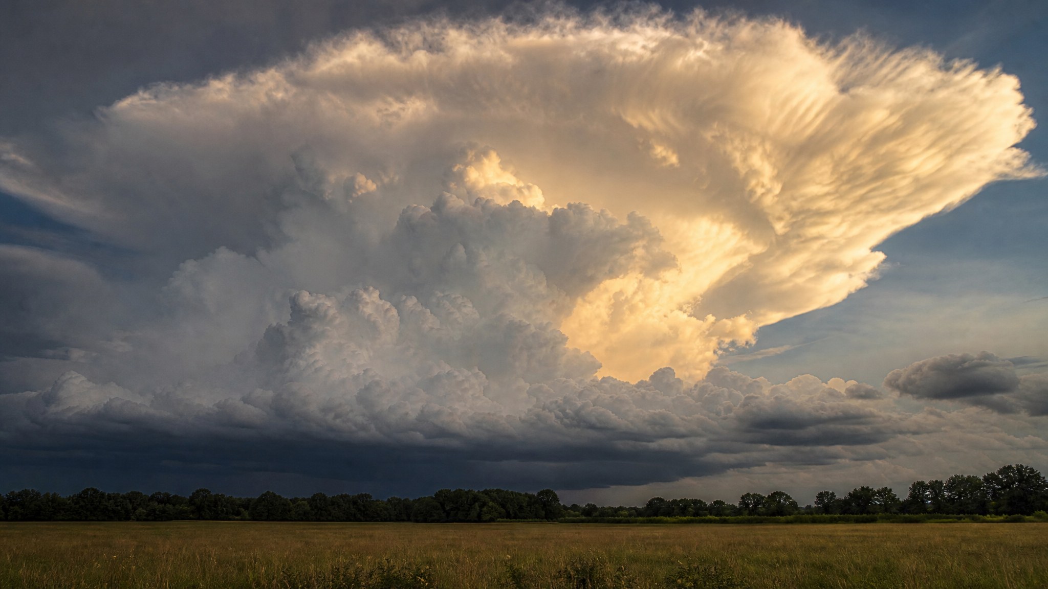
Cumulonimbus clouds are the other one worth knowing on sight: tall, dense towers that build vertically, often flattening at the top into an anvil shape. NOAA's cloud reference is direct about what these produce: heavy rain, hail, lightning, and tornadoes. If you watch an ordinary puffy cumulus cloud grow taller and darker over the course of an afternoon rather than dissolving as the day cools, that's the buildup phase of exactly this cloud, and it's worth changing your plans before it finishes forming.
What The Wind Direction Is Actually Telling You
Wind alone won't tell you much. A change in wind direction tells you a great deal, because it usually means a front, the boundary between two different air masses, is passing near you. The UCAR Center for Science Education lays out what each type looks like from the ground.
| 01 | Ahead of a warm front, expect high clouds firstCirrus, cirrostratus, and altostratus move in from the direction the front is approaching. Clouds gradually lower and thicken, and rain becomes likely as the front gets closer. Warm fronts move slowly, so this can play out over most of a day. |
| 02 | A cold front announces itself faster and harderWinds turn gusty, temperatures drop suddenly, and heavy rain arrives, sometimes with hail, thunder, and lightning. Cold fronts move up to twice as fast as warm fronts, so the shift from calm to stormy can happen in under an hour. |
| 03 | Watch what happens right as a cold front clearsUCAR notes that atmospheric pressure changes from falling to rising exactly as a cold front passes. If the wind suddenly swings to a new direction and starts gusting, the front is passing through right now, not approaching. Afterward, skies typically clear and clouds change from cumulus to stratus or stratocumulus. |
| 04 | A wind that won't settle on a direction means a stationary front is nearbyTwo air masses pushing against each other without either winning produces days of unsettled, cloudy weather with intermittent rain or snow. It stays that way until the wind direction actually commits one way or the other. |

The Barometer: The Instrument Most People Ignore
A falling barometer is one of the most reliable single indicators available, and it's also the one most people have never learned to read. The National Weather Service's own glossary defines pressure change as the net difference in barometric pressure over a specified interval, typically the three hours before an observation. When that change is negative and moving quickly, it's a real signal, not noise.
What Counts As A Genuine Warning SignThe National Weather Service defines "pressure falling rapidly" as a specific, measurable threshold: a decrease in station pressure of 0.06 inch of mercury or more per hour, totaling at least 0.02 inch. A cheap pocket barometer or an altimeter watch with a barometric mode can track this. A slow, steady fall over many hours suggests a system easing in gradually. A fast fall over one or two hours means the pressure gradient is steep and the associated wind and precipitation are likely to be more intense, not just closer.
The physical reason this works is straightforward. Falling pressure means a low-pressure system, air converging and rising rather than sinking, is approaching or strengthening nearby, and rising air is what builds the clouds and precipitation covered above. A rising barometer means the opposite: sinking, drying air and a high-pressure system taking over, which is almost always good news for the next day or two.
The Oldest Weather Saying Turns Out To Be Real Physics
"Red sky at night, sailors' delight; red sky in morning, sailors take warning" sounds like folklore, but a NOAA/NWS Ocean Prediction Center scientist has confirmed on the record that it holds up, with a specific explanation of why.
In the mid-latitudes, where the continental United States sits, weather systems generally move from west to east. Sunlight at sunrise and sunset travels through far more atmosphere than at midday, and it scatters off dust and aerosol particles that concentrate near the ground under high pressure's sinking air, producing the red and orange color. A red sky at sunset, looking west, means that high pressure and its dust-filled, sinking air are to your west, on their way toward you. A red sky at sunrise, looking east, means the clear, high-pressure air has already moved past, and whatever is coming from the west, possibly a low-pressure system, hasn't arrived yet.
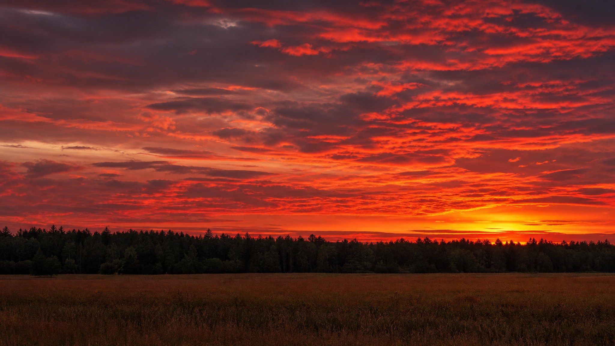
It's a genuinely useful rule, with one real limitation worth knowing: it only works reliably in the mid-latitude belt where weather actually tracks west to east. If a system happens to be moving from an unusual direction, the rule can fail, which is exactly why it's one input among several rather than a forecast on its own.
Put It Together Before You Need It
No single sign above is a forecast by itself. Together, they are close to one. A cirrus haze thickening overhead, a wind that's swung to a new direction, a barometer dropping fast, and a red sunrise all pointing the same direction is about as clear a warning as nature gives without a satellite involved.
If what's building overhead turns into the kind of storm this article is warning about, it's worth knowing what to do if lightning becomes a real risk rather than a distant possibility. 1st Hour's guide on lightning strike survival covers touch safety around downed lines and the actual first-aid response, and it's worth reading before a cumulonimbus tower is directly overhead rather than after.
Reading the sky is a skill, not a gadget. It gets sharper with practice, and it never runs out of battery.
Get The Weather Signs Field Card As A Printable PDF
The cloud sequence that means a front is coming, the wind-shift patterns for warm and cold fronts, the National Weather Service's exact definition of a rapid pressure fall, and the real physics behind the red sky rule, all on one sheet.
Download the Field Card (PDF)Gear Up Before The Sky Tells You It's Too Late

Every month, TacticalBox members get hand-picked tactical, survival, and outdoor gear, sourced ourselves from makers all over the country and curated to be some of the best equipment on the market, worth $150 or more per box on the Standard plan. Knowing what the sky is telling you matters most when you're actually equipped to act on it. Backed by a money-back guarantee. Cancel, pause, or skip anytime.
Get Your TacticalBoxThis content is for informational and educational purposes only and is not a substitute for an official weather forecast or the guidance of the National Weather Service. Weather can change rapidly and unpredictably. Always check an official forecast when one is available, and follow the current instructions of your local emergency management and public safety authorities during severe weather. Seek appropriate shelter immediately if lightning, high winds, or other severe weather threatens your safety.